The Google Earth Archaeological Revolution
DAVID KENWORTHY - SEPTEMBER 2026
At the time this article is written there is a Google Earth archaeological revolution in progress that is completely under the radar of modern mainstream archaeologists. They appear to be caught in the headlight glare of the speed of the modern technological revolution. There is little doubt that the research findings that have benefitted the most from these developments, are those of Professor Alexander Thom. Written off by archaeologists in the 1960’s and 1970’s, his findings are now the backbone of the very many Google Earth alignments discovered and explained by researchers such as Howard Crowhurst, Bill Wilkinson, Melissa Campbell and others recording their findings on U tube and other channels. Not only are the findings of Professor Thom taking centre stage they are found to be overlapping with the work of researchers such as Algernon Berriman in his book Historical Metrology and Hugh Franklin, who managed to translate Thom’s findings at the Aubrey circle to Berriman’s analysis of the Giza Great Pyramid base, by mathematically proving the astonishing ratio of Stonehenge Aubrey circle circumference 297 to Giza base 1000.This appears to be a monumental discovery. Years ago this potential relationship was laughed out of town, but the Google Earth evidence now paints a very different and quite ominous picture for current archaeological thinking.
New Discoveries Along the Google Earth Eclipse Lines (The Megalithic Lunar Observatories).
Professor Thom’s second book ‘Megalithic Lunar Observatories’ was published by Oxford University Press in 1971. In his preface he asserts;
‘As the investigation advanced it became evident that I was not dealing with monuments orientated for some ritualistic purpose but rather with the remnants of a scientific study of the moon’s motion. When this is recognised a great mass of material falls into place. We must no longer assert that these people could not possibly have known this or done that. It has proved much more fruitful to ask ourselves how a trained scientific mind would have approached their problems, always bearing in mind the kind of facilities which were available.’
It is surely no co-incidence that there are 56 markers around the Stonehenge Aubrey circle, the Lunar association is undeniable as noted by Professors Hoyle and Hawkins in the 1960’s, both confirmed it as an eclipse prediction device.
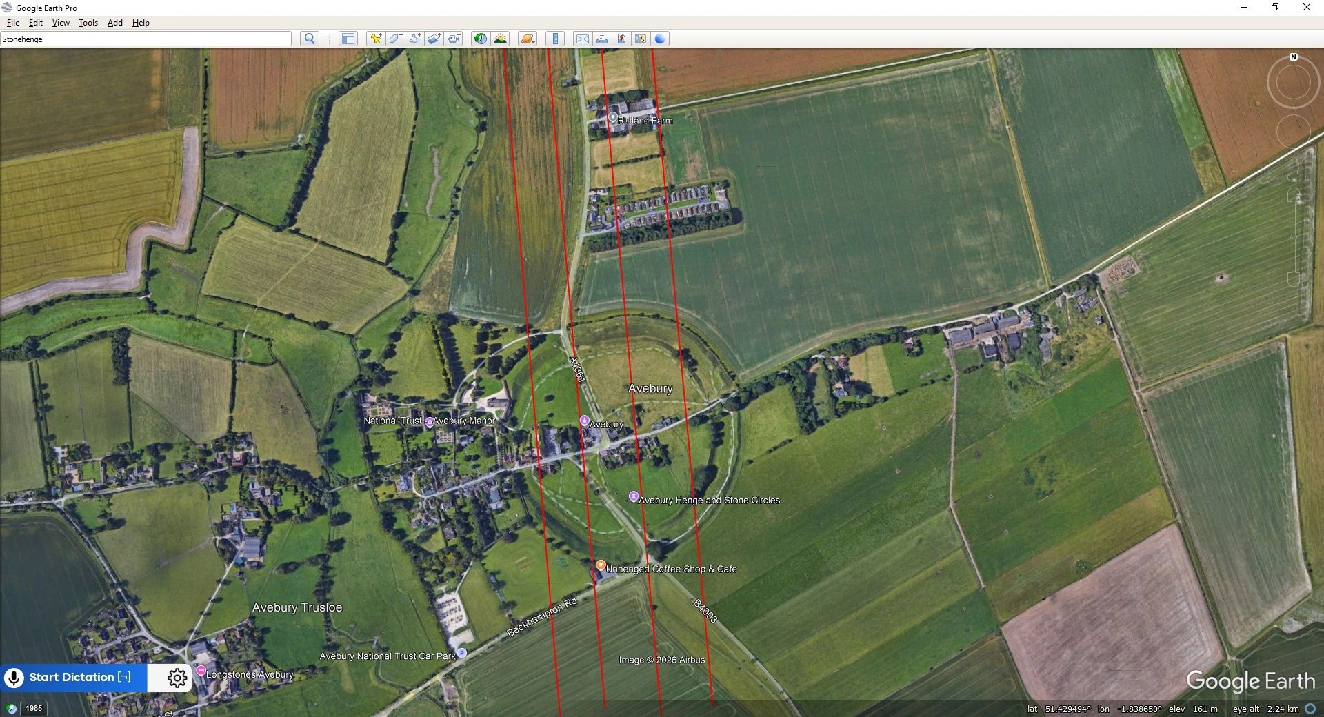
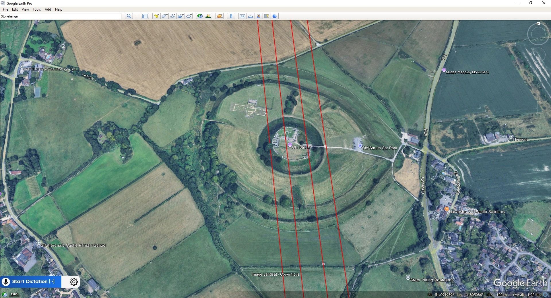
The four Google Earth eclipse lines run from the Orkneys to Hengistbury Head on the south coast of the UK. In this video discussion the key sites identified are;